
Map of 1937 Germany, published in 1945
Description:
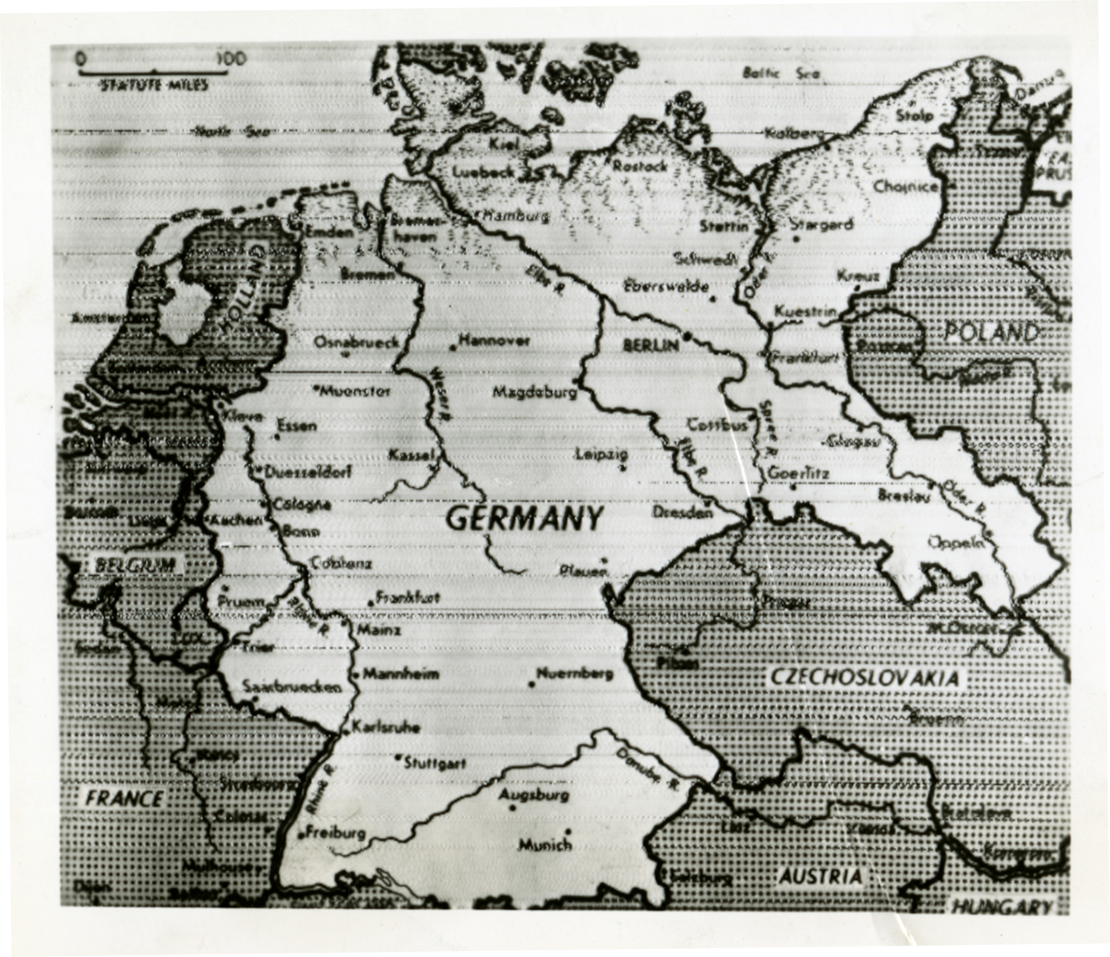
Photograph. Map of 1937 Germany. Official Caption: "Rome, 6/7/45--Map of 1937 Germany--Here is a base map of Germany, as of December 31, 1937. East Prussia is partially shown in the upper right corner. The German frontiers have been rolled back to the boundaries of this date for occupation purposes. The Allies have announced that the country will be split into four zones--an eastern section under Soviet jurisdiction, a northwestern section under Great Britain, a southwestern section under the U.S. and a western one under France.--OWI Radiophoto--serviced by Rome O.I (C list out). Approved by appropriate military authority. 6623."7 June 1945
Image Information
Donor:
Accession Number:
Date:
06/07/1945
Hometown:
Branch:
Theater of Service:
POW / KIA:
Topical Subjects:
Collection Level:
Items from the service of Isaac "Ike" Bethel Utley, who was born in Smith Mills, Kentucky on 3 March 1920. Ike enlisted in the Army Air Corps on 19 January 1942. He was shipped overseas to the European Theatre and worked with a supply division based out of the city of Naples with an office set up in a residential villa. Utley worked with the Office of War Information and used their photographs in news articles to inform soldiers of the progress of the war. At war's end, Utley returned stateside. A trunk full of over 800 photographs from the O.W.I. arrived on his doorstep from his office in Italy, sender unknown. This collection consists of those photographs.
Thesaurus for Graphic Materials:
Maps--Germany