
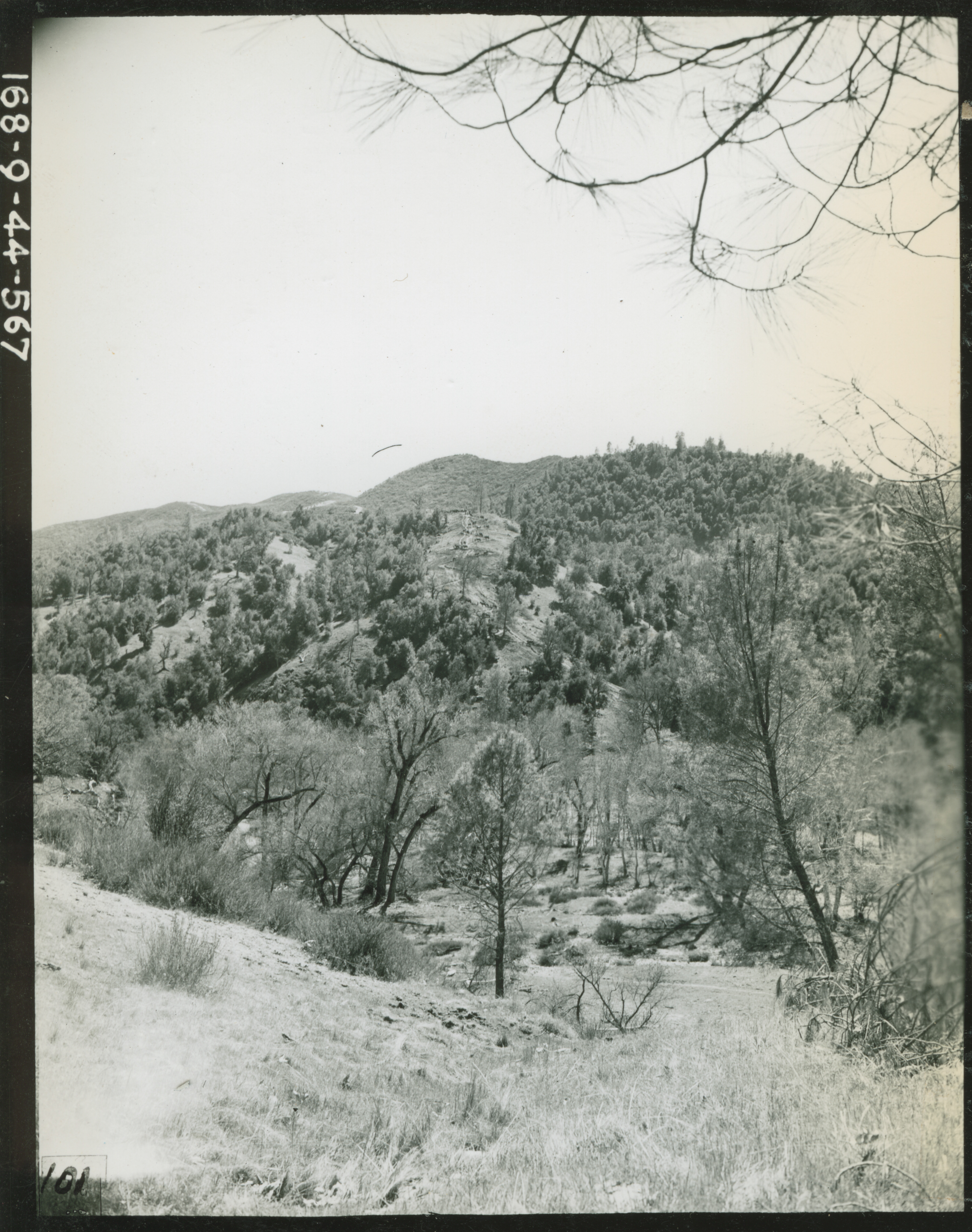
View of the first incline of Firebreak Trail during maneuvers at Hunter Liggett Military Reservation on 21 March 1944
U.S. Army Signal Corps photograph, Gift in Memory of Maurice T. White, from the Collection of The National World War II Museum
Description:
1818. '3-21-44. Ecklund. A distant view of the first incline of the Firebreak Trail leading to the 66th Inf Regt 71st Div, in the maneuver area of Hunter Liggett Military Reservation. Photo taken from the upper Milpital Road near the north fork of San Antonio River. HLMR Mtn. Man. 168-9-44-567.' Army Signal Corps photograph Photographer: Ecklund. 21 March 1944
Image Information
Donor:
Accession Number:
Date:
Hometown:
Branch:
Theater of Service:
POW / KIA:
Topical Subjects:
Collection Level:
From the collection of Maurice T. White, Captain in the 168th Signal Photographic Company, US Army Signal Corps. The collection consists of 2,000+ images of training exercises, predominantly documenting the 81st Infantry Division in the United States in 1944
Geography:
Fort Hunter Liggett
Latitude:
35.917
Longitude:
121.250
Thesaurus for Graphic Materials:
Soldiers--American--California