

Volturno River Valley, Italy in 1944-45
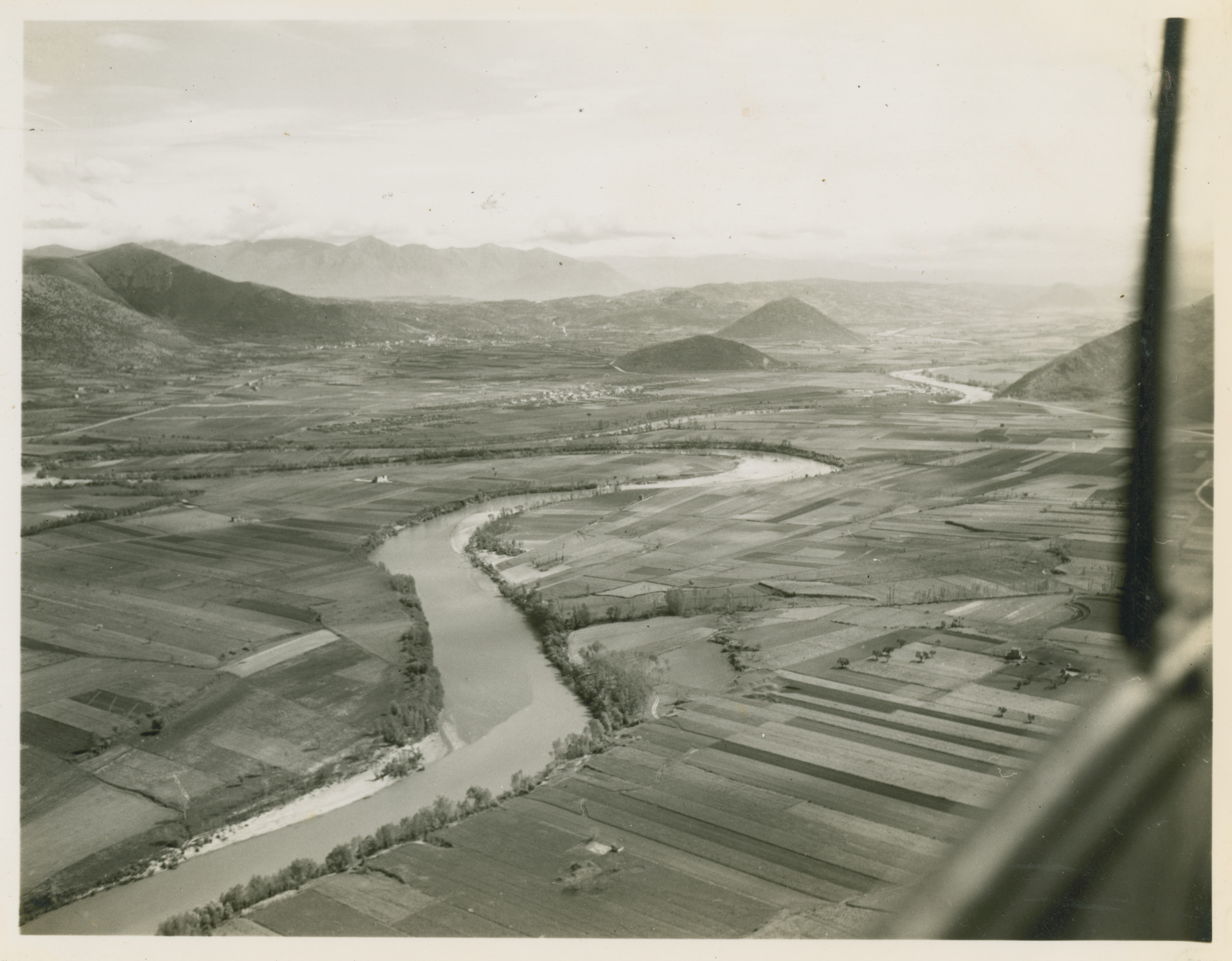
U.S. Army Signal Corp photograph, Gift in Memory of William F. Caddell, Sr., from the Collection of The National World War II Museum
Description:
173. Photograph. Aerial photograph of Volturno River Valley with the river twisting in an S curve and the center mountains are Mesorinolo and Monticello, on the left are Monte Santacroce and Piana di Monte Verna in Italy. 1944-45
Image Information
Donor:
Accession Number:
Date:
Hometown:
Branch:
Theater of Service:
POW / KIA:
Topical Subjects:
Collection Level:
Signal Corps photographs from the service of William F. Caddell, Sr. taken from the Fall of Rome through the end of the war.
Geography:
Italia
Latitude:
42.833
Longitude:
12.833
Thesaurus for Graphic Materials:
Aerial views--Italy
Rivers--Italy